Home News & updates Article An insight into Airways’ drone strategies

Airways International’s AirShare drone management system is helping shape the future of drone traffic control. In this interview, Acting General Manager Commercial James Evans shares insights into the platform’s development impacts. – published in Global Airspace Radar magazine, Issue 1, May 2025. You can read this issue here.
Q. How does your organisation manage drone traffic?
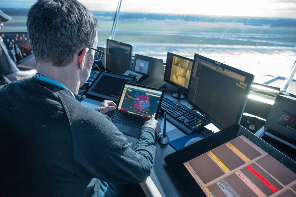
A. The AirShare uncrewed traffic management (UTM) system is a central part of the New Zealand UTM and wider airspace management ecosystem – supporting drone operators to understand airspace rules, efficiently obtain the necessary permissions for their operations, reduce the workload of air traffic controllers (ATCs) and provide enhanced situational awareness.
The AirShare team works within Airways International, the commercial arm of Airways New Zealand. In addition, they maintain a strong, collaborative relationship with Airways to effectively manage New Zealand’s drone traffic. Working closely with ATCs, they gain insights directly from users into the unique challenges they face in managing increasing drone activity.
Q. Are there other ANSPs leveraging your solution?
A. Airways International offers the AirShare platform to international markets, with growing interest from a range of stakeholders. In New Zealand the platform is now being used by large landowners, unattended aerodromes, and municipalities to manage uncrewed aircraft (UA) operations in their own areas of responsibility.
Q. Does your tool integrate with other systems?
A. AirShare is designed to seamlessly integrate with other systems to enhance the safe and efficient management of drone operations. For example, UA fleet management platforms – FlyFreely and AVCRM, ensuring compliance with airspace rules.
UA flight plan data is shared via Flight Advisor, New Zealand’s low-level airspace advisory tool.
Q. How will USSPs work with your solution.
A. USSPs will be able to integrate to access services such as flight authorisation, conformance monitoring, weather data, geo-awareness and traffic information, all while continuing to use their own systems natively.
Q. Are there specific aspects to address weather?
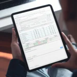
A. AirShare supports pilots with access to accurate and timely weather information during flight planning – and even when reviewing a previously submitted flight plan, drone pilots can still access AirShare’s weather service. Where available, it can source weather data from local providers. For instance, enhanced micro-weather services offers pilots more precise insights, especially in complex environments or low-level airspace.
Q. Does your system support autonomous and/or Beyond Visual Line of Sight (BVLOS) flights?
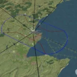
A. AirShare is closely following the rapid advancements in BVLOS and autonomous flight operations. As such, the platform is well-positioned to support these emerging applications. For example, it provides real-time traffic information that allows UA operators to monitor airspace activity and gain the situational awareness needed to operate safely and efficiently.
Q. Are there any other highlights you’d like to share?
A. The platform now manages over 6,000 flights per month, with 70,000 users registered since its inception in 2014.
By streamlining the drone flight authorisation process and providing digital services to operators, AirShare has also eliminated thousands of phone calls to ATC, significantly reducing workload for controllers while improving safety and compliance for drone operators.