Home Airspace & Procedures Pre-flight tools for NZ
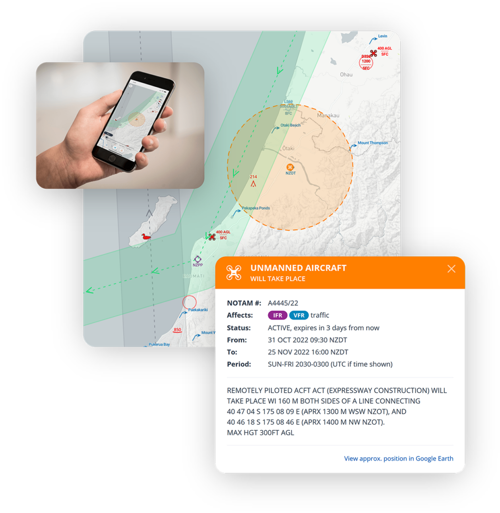
The Aeropath AIM team has utilised their spatial data management and visualisation capabilities to develop the PreFlight and Flight Advisor dynamic mapping tools for use by pilots in New Zealand.
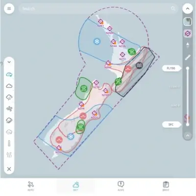
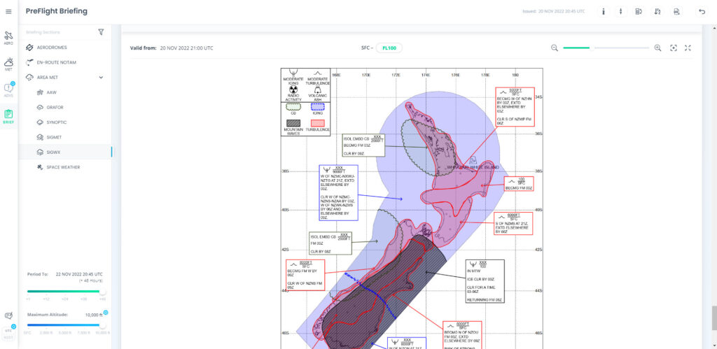
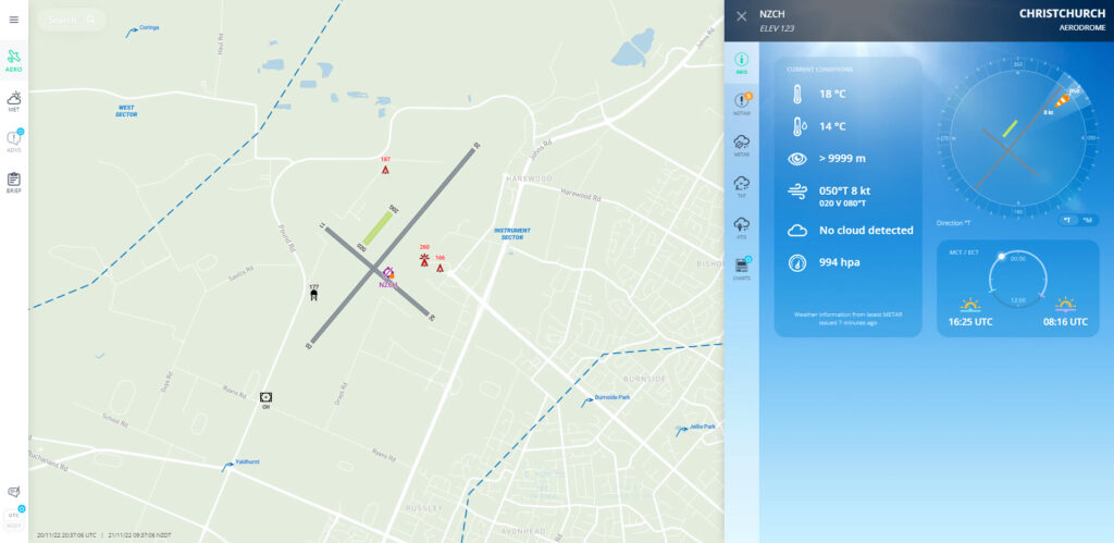
Commercial and recreational pilots can now access safety-critical weather and aeronautical information on a mobile device in a modern, interactive format, with the launch of PreFlight – a one-stop platform developed by Aeropath and MetService.
PreFlight integrates weather and aeronautical data onto one platform for the first time, to create efficiencies for pilots and the wider sector – putting the right information in the hands of those who need it, in a simpler and more engaging way.
PreFlight will eventually replace both the MetFlight GA and MetFlight commercial products delivered by MetService, and the briefing component of the IFIS site provided by Airways.
Visit gopreflight.co.nz to create an account for their personal use. Customers wanting to use PreFlight for commercial purposes can contact MetService at aviationsales@metservice.com.
The Aeropath AIM team has collaborated with the Royal New Zealand Air Force (RNZAF) to develop Flight Advisor – a dynamic digital map to enhance safety for New Zealand pilots flying at low level in outside of controlled airspace.
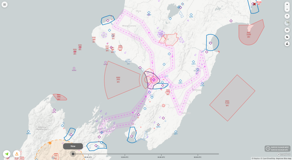
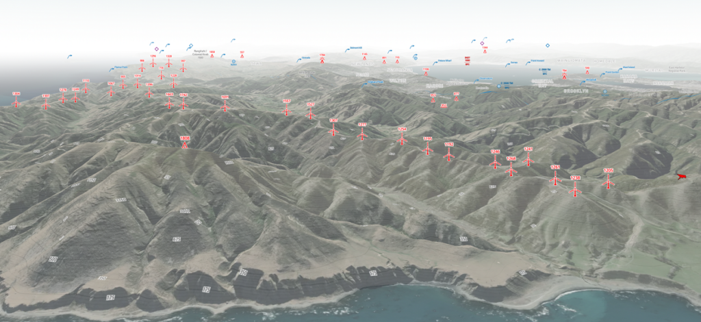
Flight Advisor provides RNZAF pilots and civilian operators with an awareness of traffic and potential hazards when operating at low levels (under 1,000 ft) – giving pilots operating in this uncontrolled airspace the information they need to keep themselves and other low level airspace users safe.
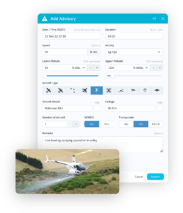
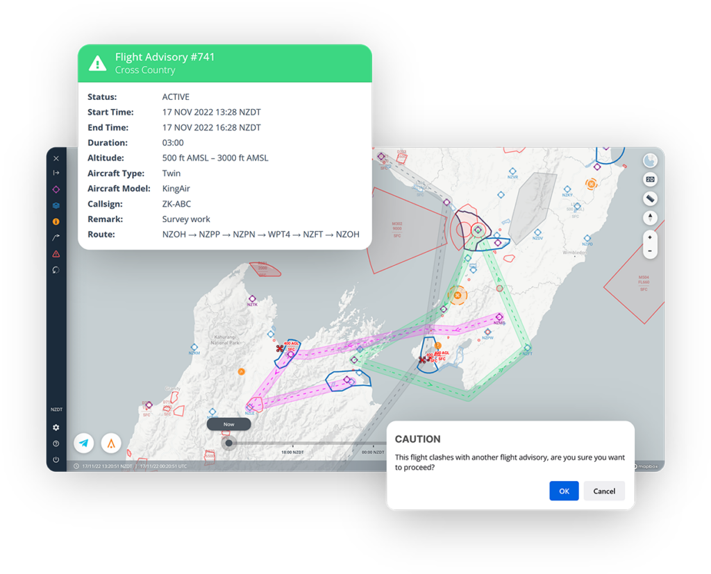
Users can log a flight advisory outlining their planned area of operations on a dynamic map, so any pilots operating in the vicinity are aware of all airspace activity in the area.
Users can also easily report any uncharted hazards or obstacles, such as wires, towers or antenna by dropping a geolocation pin on the map.
The Aeropath AIM team has gained global recognition for its development of Flight Advisor, winning the CANSO Global Safety Achievement Award 2022.
Read more about this significant achievement.
