Home Airspace & Procedures AIM & AIP Services
Aeropath has world-class expertise in all aspects of Aeronautical Information Management (AIM). We deliver next generation aeronautical charting solutions for customers around the globe, and we’re responsible for the production and distribution of Aeronautical Information Publications (AIP) for both New Zealand and the Pacific.
Aeropath are experts in aeronautical data and database systems – data is at the core of what we do, and provides the substance from which all AIM products are generated.
Our New Zealand Civil Aviation Part 175 certification to provide AIM services is recognised in multiple jurisdictions.
Aeropath manages the end-to-end production of the AIP for New Zealand and several Pacific States. Managing ICAO standard along with the demands of originators and state-based differences can be challenging; Aeropath has the specialised tools, quality assurance expertise and multi-state experience to make AIP management seamless.
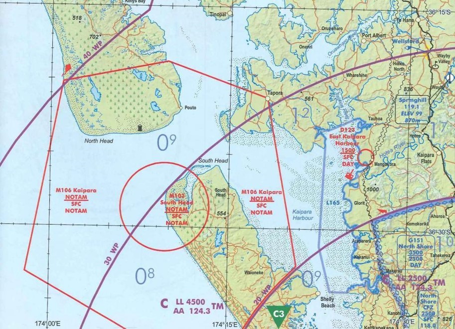
Visual navigation, instrument navigation, aerodrome surveys, digital terrain – from the upper airspace to the runway threshold, Aeropath has the experience and knowledge to chart it all.
Aeropath is certified under the New Zealand Civil Aviation Part 175 to provide the AIM service for New Zealand.

Aeropath has world class expertise in the specialised fields of aeronautical data and database systems. Data is at the core of what we do and provides the substance from which all other AIM products are generated.
Innovators in the fields of aeronautical GIS, Aeropath is developing next generation solutions to enable aviation charts to become more dynamic, tailored to specific uses and fit-for-purpose – whether used on paper, desktop, tablet or cockpit FMS.